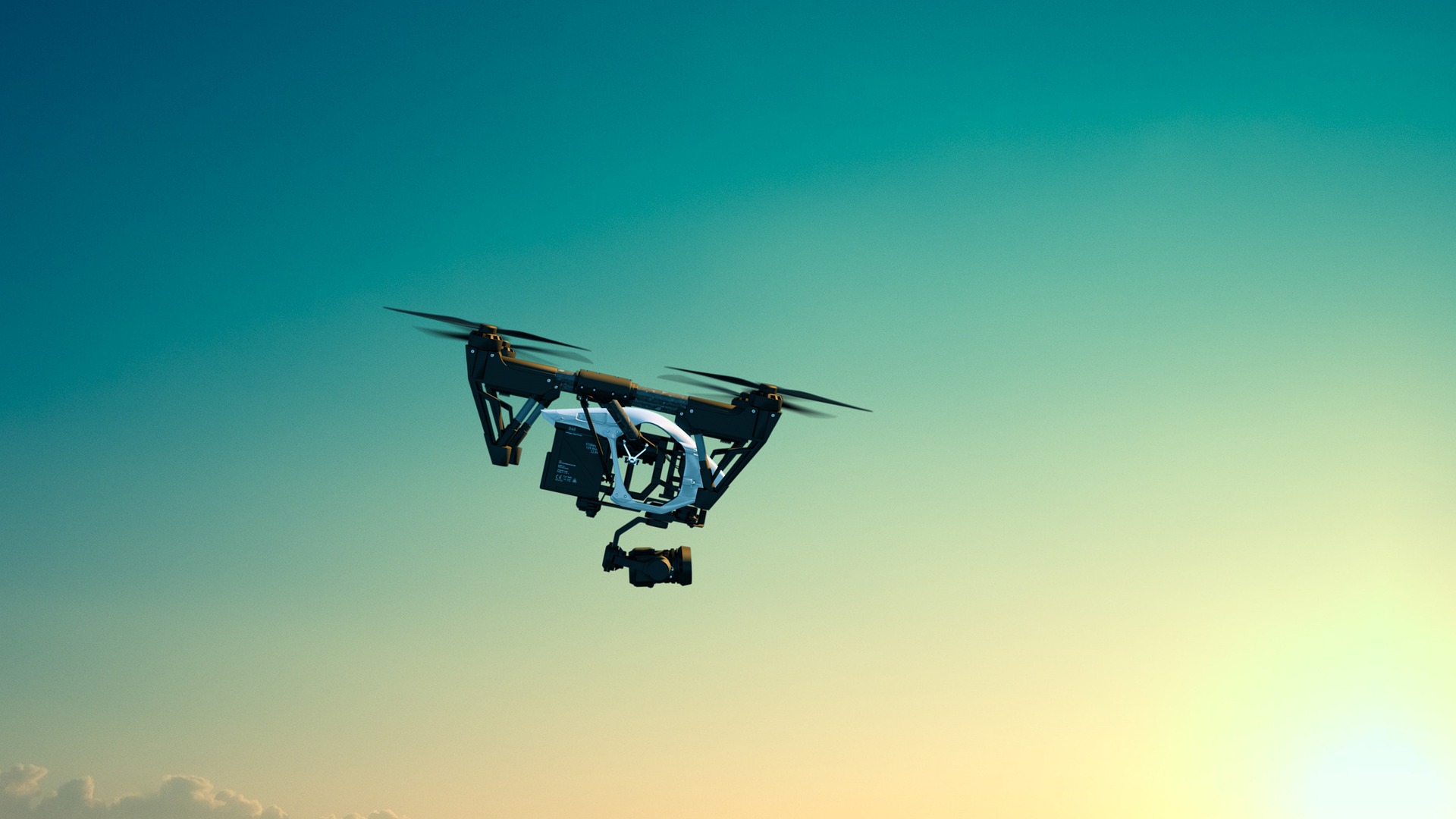
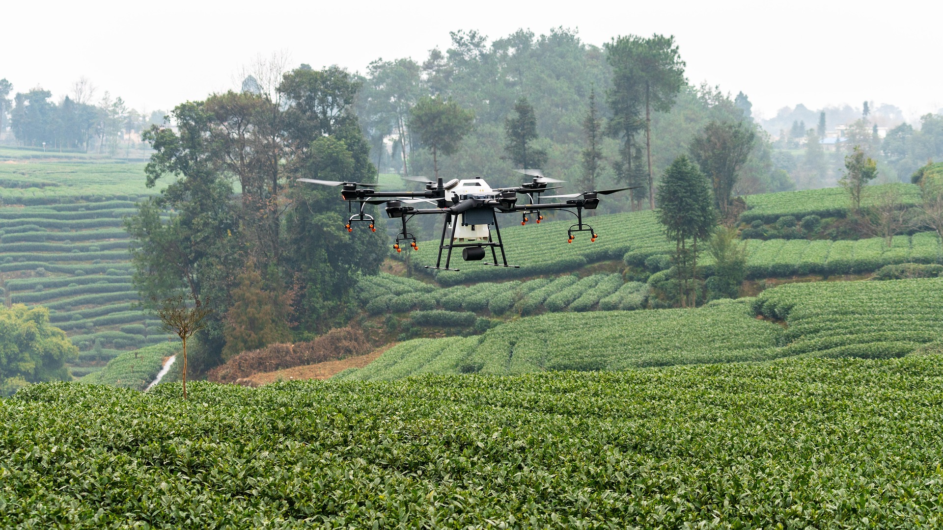
We take inspections to new heights—literally. Our drones expertly navigate anywhere they can fly, pinpointing leaks in critical infrastructure, monitoring transmission lines, or spotting hazardous trees looming near park trails. With precision aerial technology and advanced AI detection models, we uncover risks and deliver actionable insights, ensuring safety and reliability where it matters most. No corner’s too remote, no detail too small—trust us to see it all from above.
 Trusted Experts in Drone Services & Software


/ 11
ABOUT Us
ADVANTAGES:
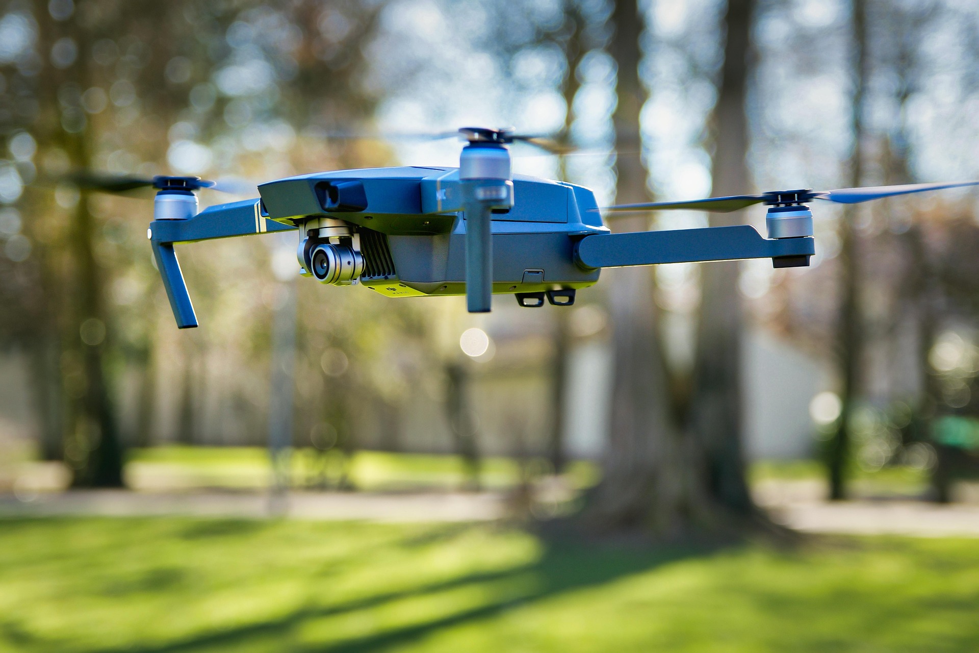
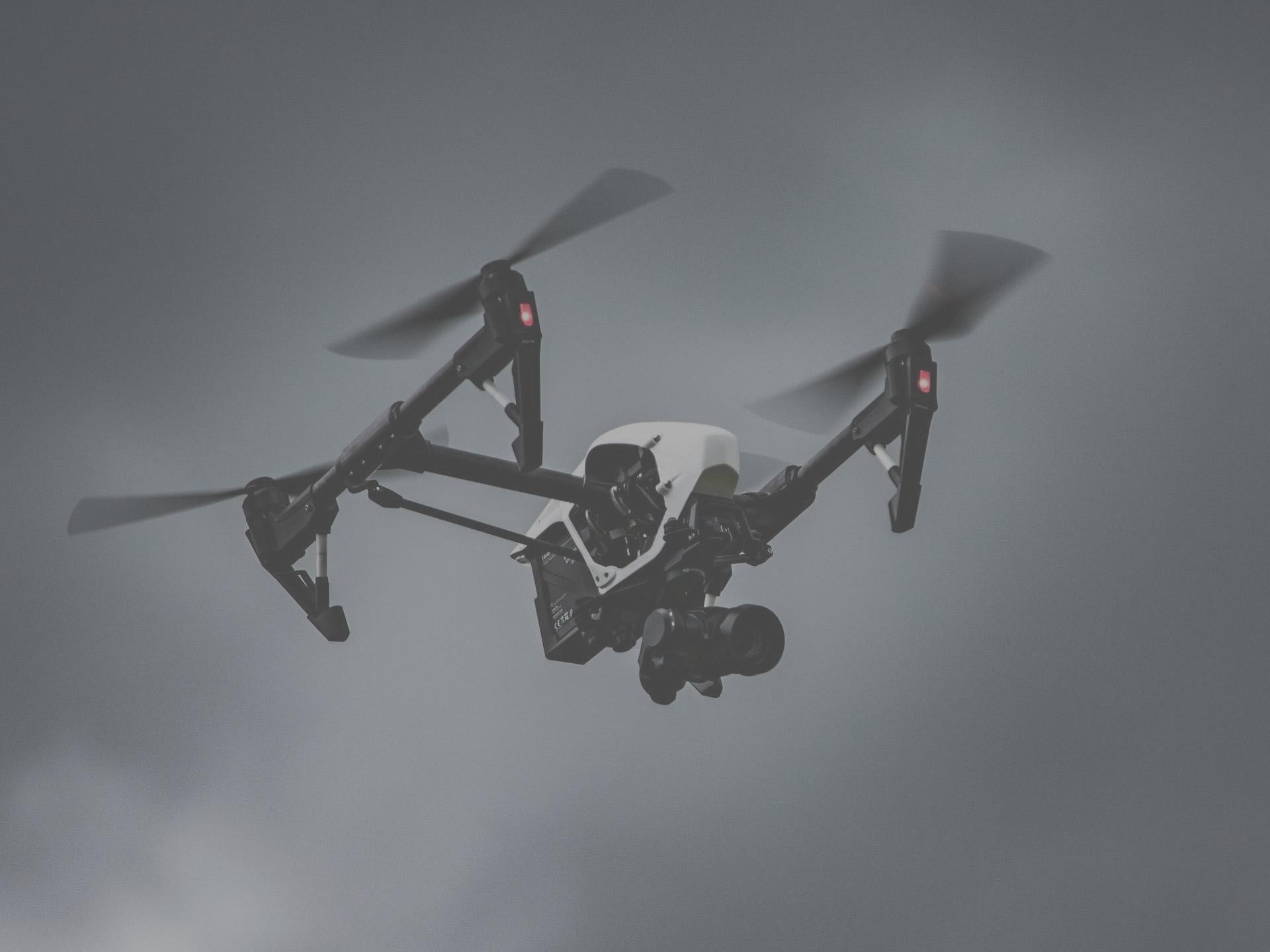
Advanced drone services
paired with tailored technologies
We turn aerial data into actionable intelligence.
Our technology and services redefine performance in the most demanding environments,
empowering our clients to meet new challenges with confidence and precision.
Eastlake Labs is used daily to monitor infrastructure and wildlife, oversee worksite progress and security, save lives with search and rescue, provide overwatch, detect threats,
protect borders, and so much more.
WE ARE Innovators
From unique drone services and advanced technical expertise to custom drone-integrated web applications, we're pioneering the future of
aerial solutions.
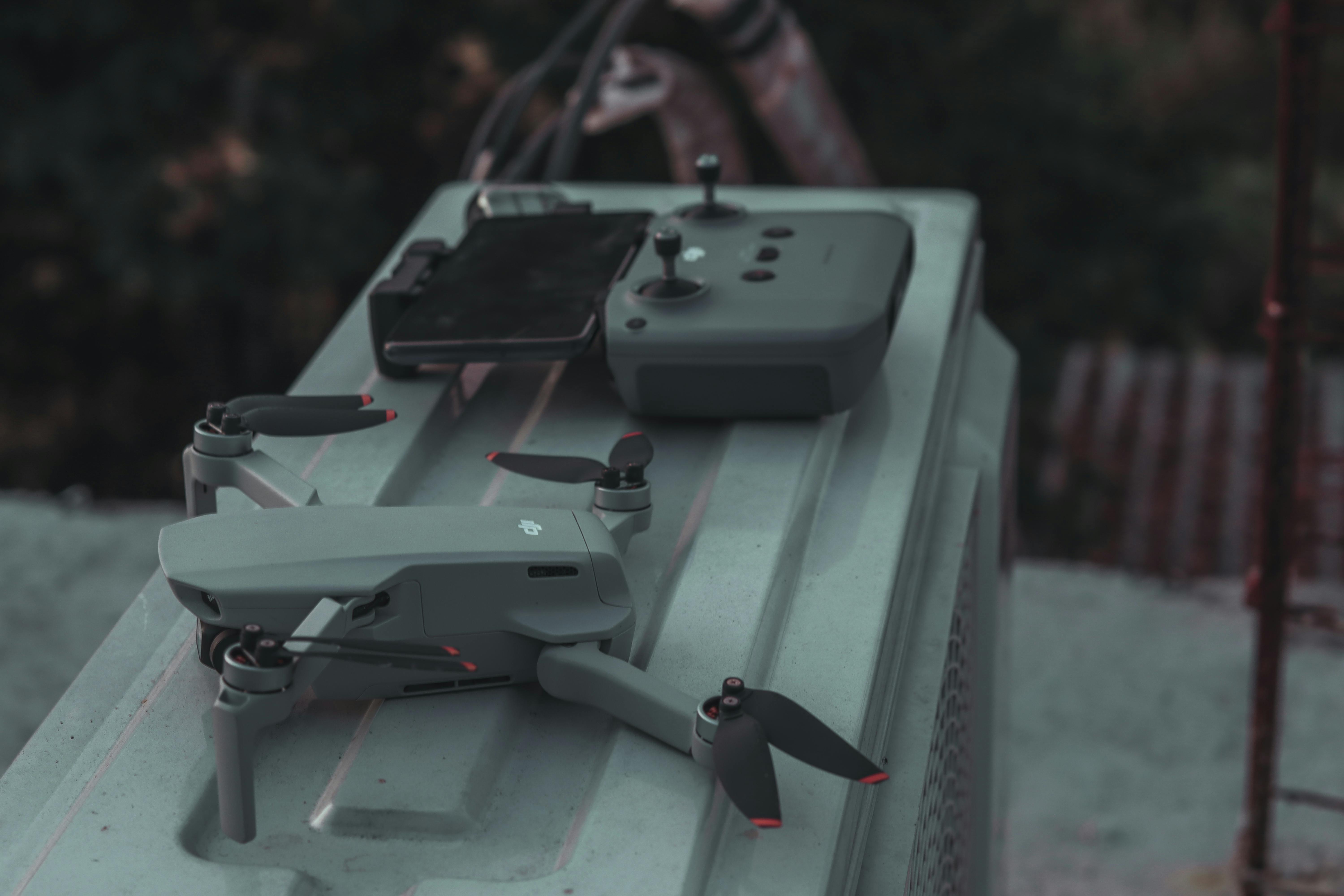
Our Services:
Wherever we can fly, we can help!
Our services extend beyond these examples; they merely illustrate what we’re capable of.
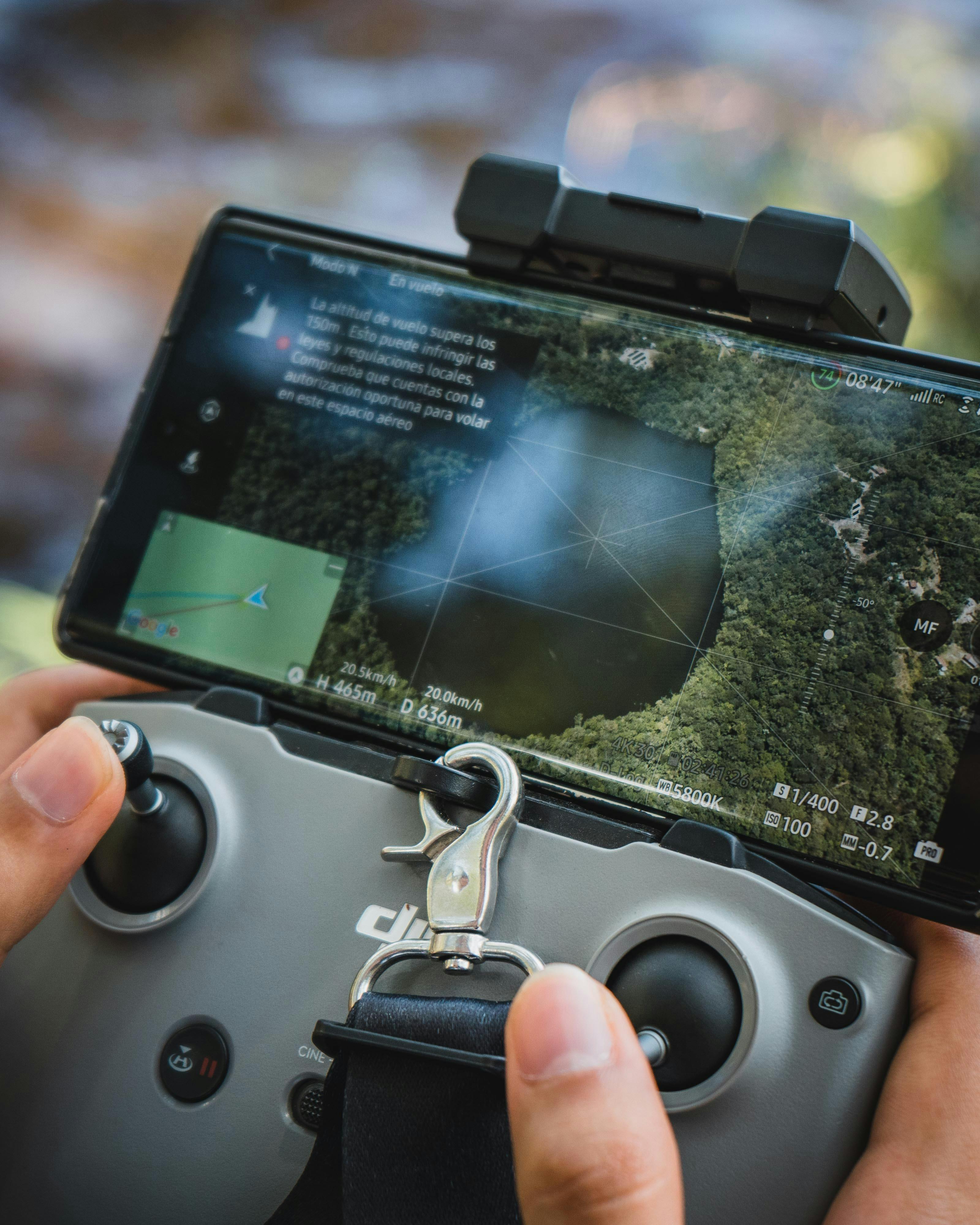
Stream your drone footage live from anywhere in the world, using any device. MoltenLens can connect to custom edge nodes, virtually any drone application, or be run on any individual smart phone to stream drone footage live to operations centers, oversite teams, or more worldwide in real-time.
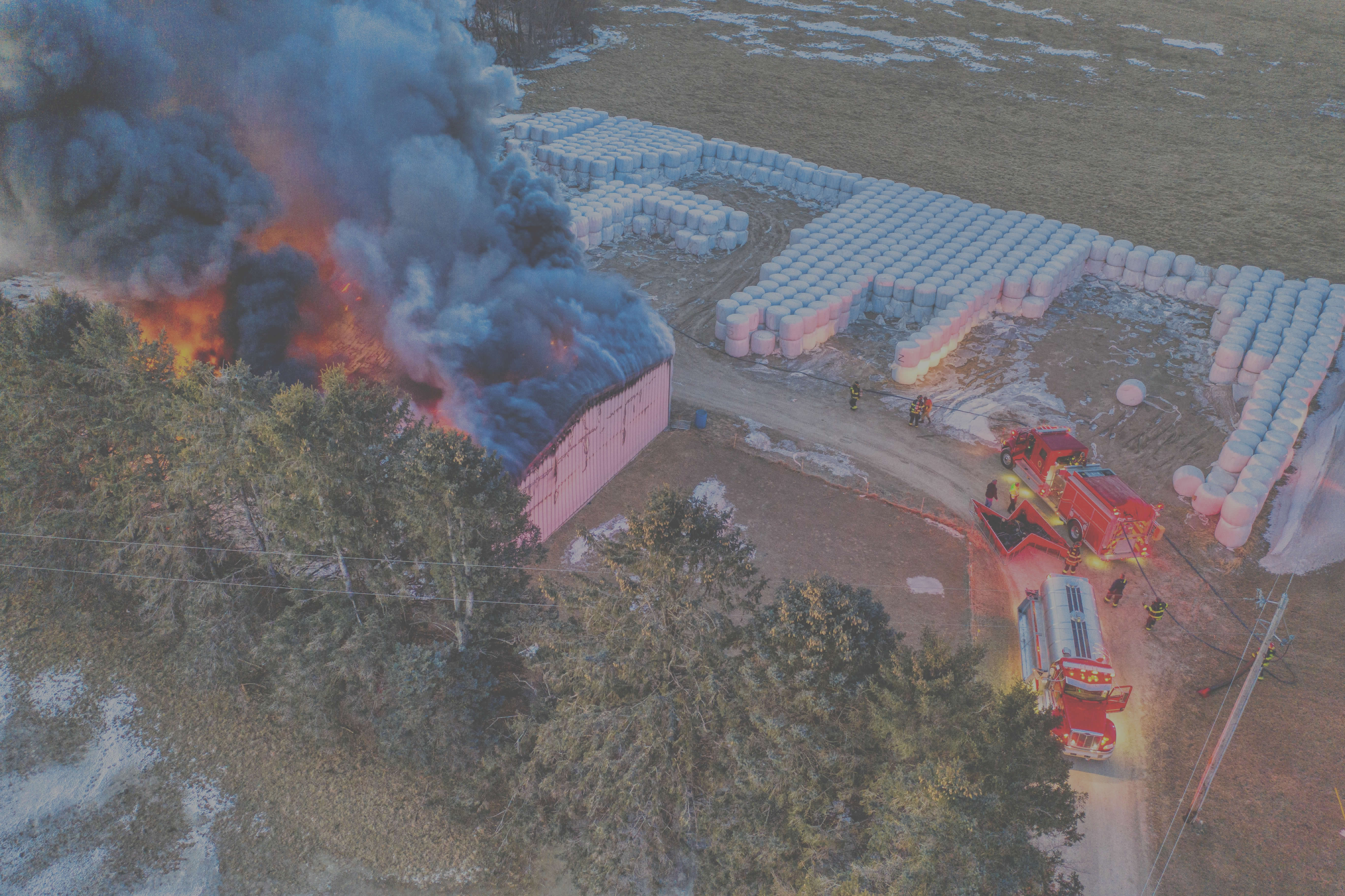
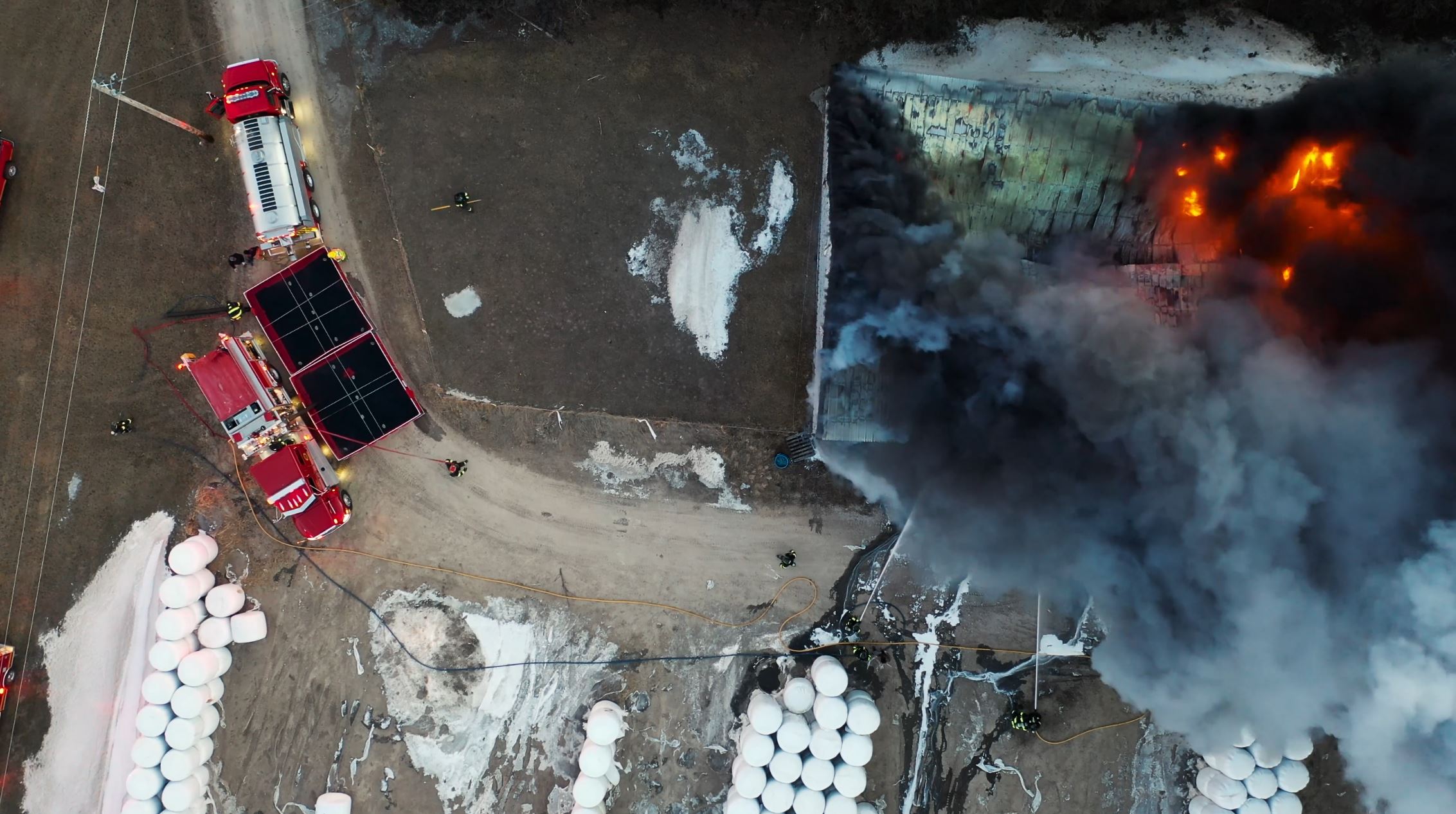
We’ve got your back—or rather, your sky. Our fast, agile drones soar above, delivering critical aerial support and real-time footage to tackle any emergency head-on.
From raging wildfires to crowd management and beyond, we’re ready to fly, equipped with MoltenLens technology to provide unmatched clarity and insight.
Whether you need us to pilot the mission, supply the software, or train your field operators, we’re here to help.
We turn chaos into control from above.
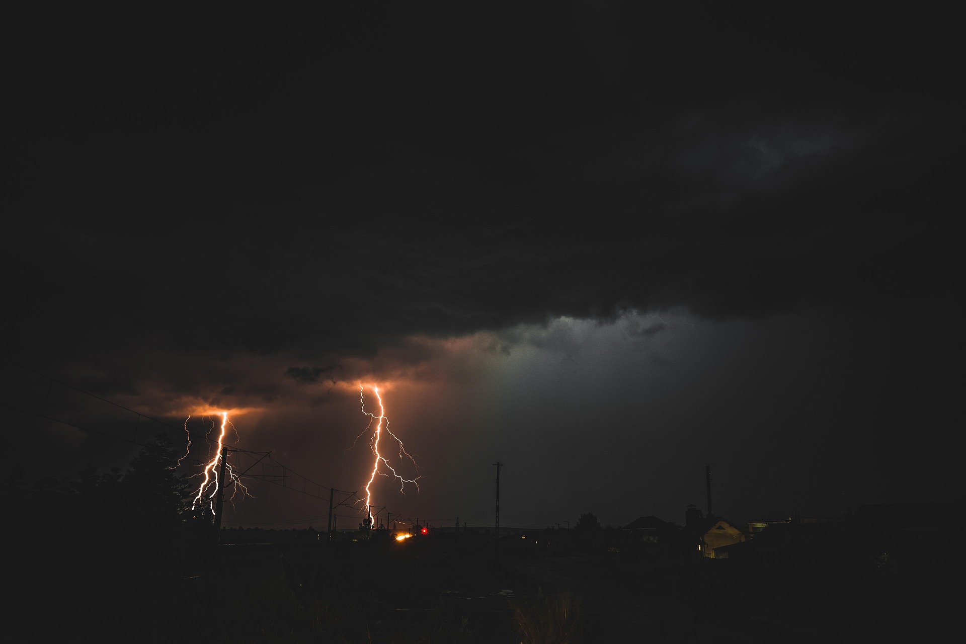
Storms strike with fierce unpredictability, often escalating in the blink of an eye. We deploy cutting-edge drone services to meet these challenges head-on, delivering real-time, in-the-field analysis of inbound storms. Our advanced UAVs capture critical data and insights that even modern weather services might miss, empowering you with precise, actionable intelligence. When chaos looms on the horizon, we’re your frontline solution—bridging the gap between nature’s fury and your peace of mind.
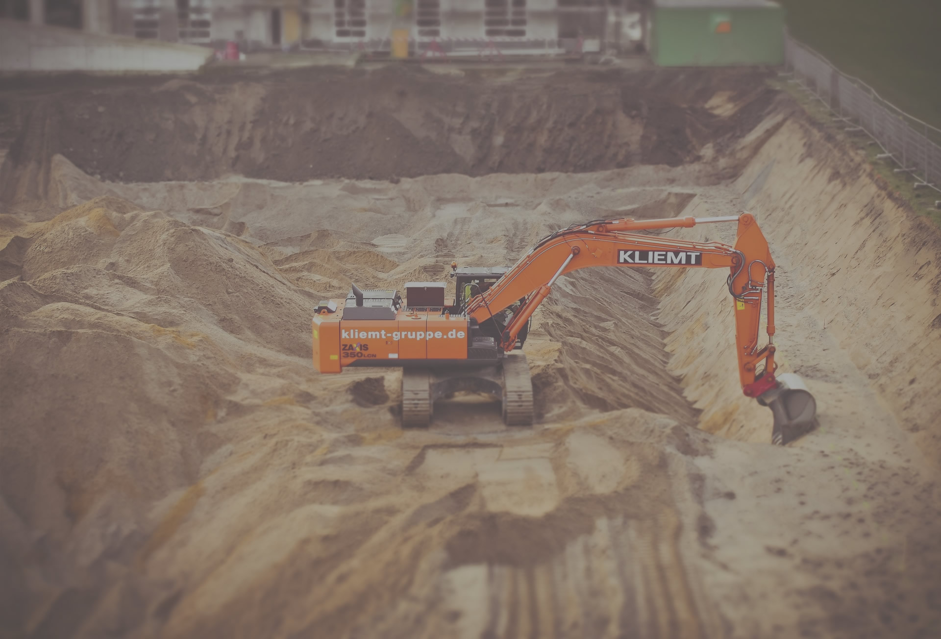
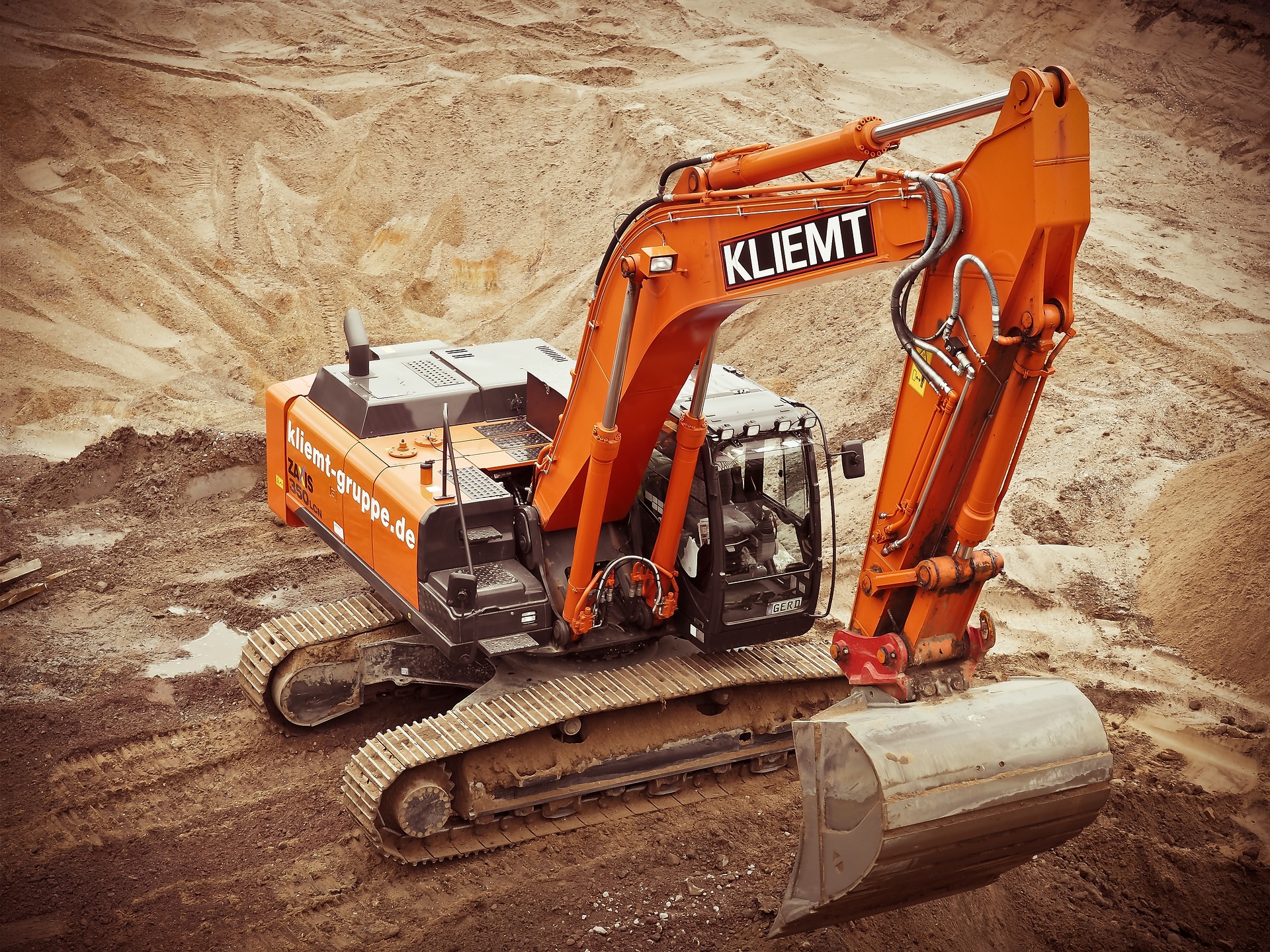
We deliver cutting-edge drone services to revolutionize worksite and construction management. Our advanced UAV technology provides unparalleled oversight, enabling precise progress tracking with real-time aerial imagery and detailed site mapping. We enhance security and protection by monitoring hard-to-reach areas, identifying potential risks, and ensuring compliance—all while reducing costs and improving efficiency. From start to finish, we’re your trusted partner in keeping projects on track and secure.

Our UAVs provide rapid aerial coverage, delivering real-time imagery and thermal imaging to locate missing persons or assess disaster zones efficiently. With expert oversight, we enhance safety and coordination, covering rugged terrain and hard-to-access areas to support rescue teams. Trust us to bring speed, precision, and reliability to every mission, saving time and lives when it matters most.
Our Software Suite
MoltenLens
Available on cloud or on-premise and fully-customizable to meet even the most demanding needs.
Book a DemoBy the Numbers
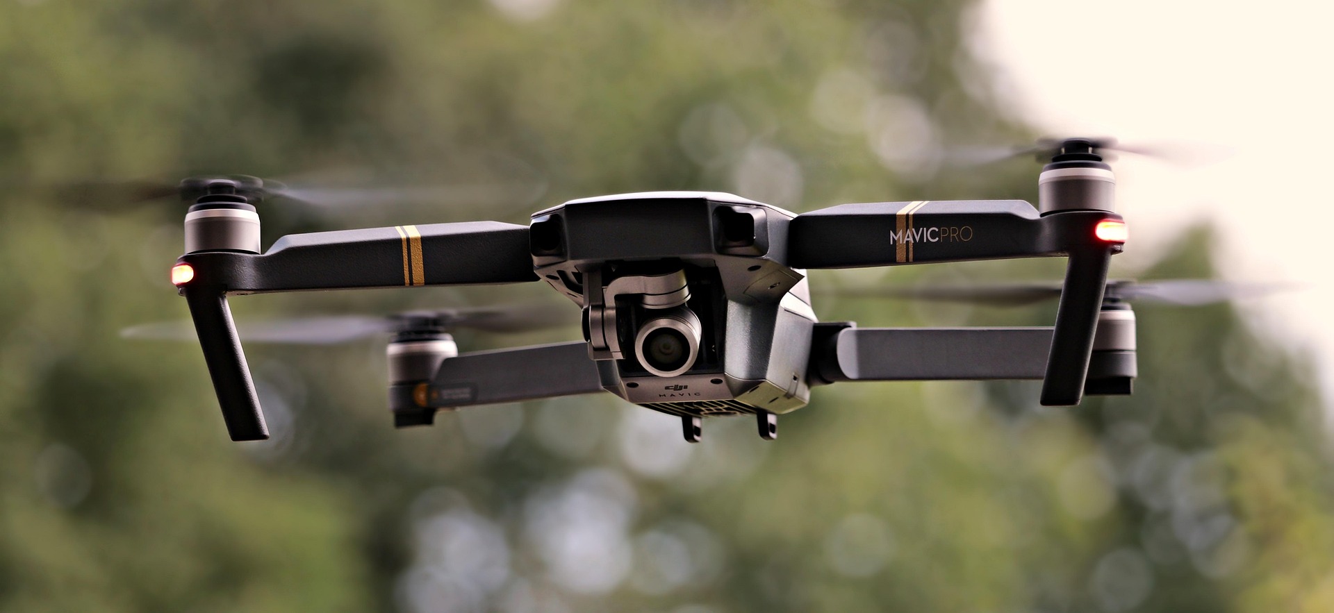
60+
Drones
We support a wide range of drone models within the MoltenLens platform in varying capacity. Stream directly from drone applications, our custom MoltenLens mobile app, or from any platform your drone supports.
100+
Drone Services
Fuelled by a spirit of innovation, our community of skilled drone pilots and support staff stand ready to capture comprehensive aerial imagery and craft precise data-driven solutions and services.
15+
Partnerships
We've strategically partnered with leading drone manufacturers and technology providers to offer our clients access to the most advanced aerial platforms and sensor technology available.